
Pacaya Volcano history in the landscape
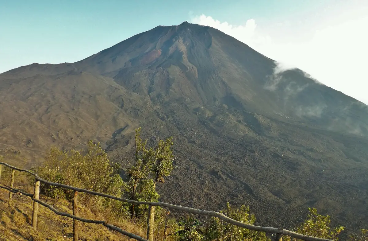
Pacaya Volcano history is visible in a landscape repeatedly reshaped by eruptions. INGUAT places the volcano within the Central American volcanic arc and links its setting to the interaction of the Cocos and Caribbean plates. This geological context helps explain why the terrain belongs to a changing volcanic system. The visitor experience, however, follows the route available to a guided party rather than a journey through every historic eruption site.
The protected area’s full name is Parque Nacional Volcán Pacaya y Laguna de Calderas. CONAP lists Amatitlán and San Vicente Pacaya and the departments of Guatemala and Escuintla in its park profile. When planning the day, keep this wider protected landscape separate from the specific start and walking route of your excursion. The arrival guide explains the practical approach to the usual visitor starting point.
A protected area since 1963
CONAP records the protected area’s designation in 1963. The park history and the volcano’s eruption history describe different things: designation concerns the protection of a landscape, while eruptions explain changes to that landscape. Keep both in mind when visiting. The park is more than a backdrop for an activity, and the visible terrain is more than a marker for one date.
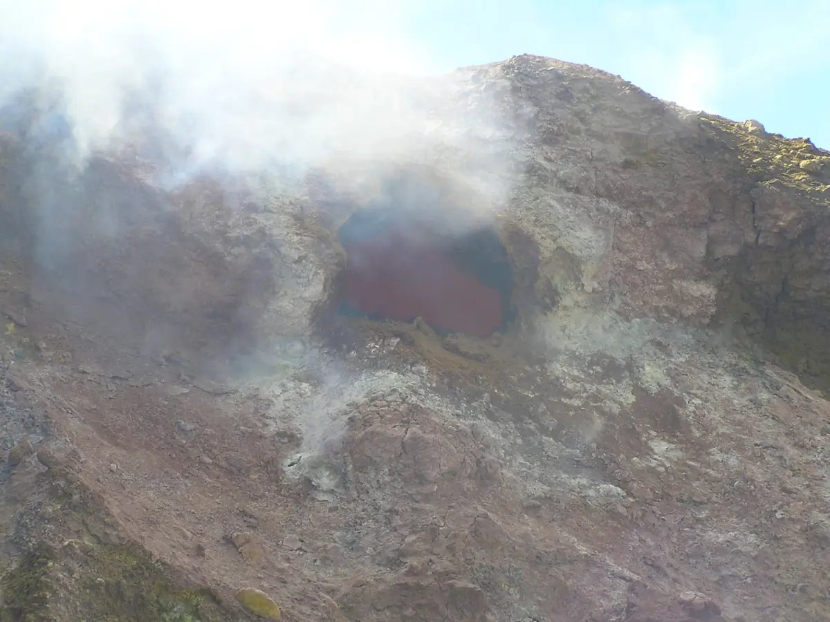
INGUAT’s recommendations dated 11 August 2026 ask visitors to take rubbish away, leave stones in place and avoid unnecessary noise. These are practical ways to approach a protected volcanic setting. Photograph the rock formations from the permitted route and leave them where they are. A walk can introduce the landscape without collecting pieces of it or seeking access to every formation that appears in an image.
Our take: visit the landscape
This guided trip includes transport and entrance for a visit to the volcanic landscape.
Hand-picked tours, booked through GetYourGuide. Prices are indicative starting prices in US dollars (as of November 2026). Tap a tour for live availability and the current price in your currency.
A guided introduction to Pacaya
A general volcano visit with ground transportation, a guide in your selected language, entrances and taxes, and bottled water.
The eruption of 27 May 2010
CONRED documented the eruption of 27 May 2010 in its historical bulletin published on 14 February 2013. The distinction between the event date and the publication date matters: the bulletin is a source for a past eruption. Its observations should be read as historical information, rather than a description of conditions during a present-day outing.
For a visitor, this milestone provides context for a volcano whose terrain changes through eruptions. It is useful to know the event belongs to the record without expecting a tour to follow that eruption’s exact footprint. A general guided visit offers an introduction to the volcanic landscape. The featured six-hour excursion includes ground transportation, a guide in the selected language, entrances and taxes, and a bottle of water per person; it is a general visit rather than a specialist geology course.
Lava fields from 2021 and monitoring in 2026
In its publication of 16 April 2026, INSIVUMEH described work on the south flank in lava fields formed by the 2021 eruption. Scientists used a mobile DOAS instrument to measure sulphur dioxide as part of monitoring volcanic processes. This connects an older eruption’s terrain with later scientific observation. The date of the lava field and the date of the measurement refer to separate stages in that account.
A measurement site is a place selected for scientific work. It does not define the public walking itinerary or give visitors permission to approach a gas source. Keep that distinction when looking at photographs or reading about monitoring. For dated observations and the difference between warm rock, solidified fields and glowing material, use the volcanic activity guide alongside this historical overview.
Volcano height and the visitor route
The height of a volcano and the highest point reached by a visitor are different measurements. Plan around the route, walking effort and transport of the chosen excursion. INGUAT’s description dated 20 August 2026 presents a flank route from San Francisco de Sales. The volcano’s headline height should not become a promised summit destination in your itinerary.
INGUAT’s notice of 11 August 2026 described ascent to the main crater as prohibited, directing visitors to established paths and open areas; it gave no end date. Obtain the instructions for your visit and follow the permitted route. The hiking page covers effort and equipment, while the entrance page explains admission within a package. This turns historical interest into a practical day without treating past eruptions or scientific access as visitor permissions.
Frequently asked questions
When did Pacaya become a protected area?
CONAP records designation in 1963. This concerns the protected area, rather than the age of the volcano or the beginning of its eruptive history.
What connects the 2021 lava fields with 2026?
INSIVUMEH’s publication of 16 April 2026 describes sulphur dioxide monitoring in south-flank lava fields from the 2021 eruption. Scientific work there does not establish a public visitor route.
Is the guided visit a summit or geology tour?
The featured activity is a general guided visit with transport and admission. Plan the walking route separately and follow the access instructions for your day, rather than expecting a specialist geology programme or a crater ascent.